
There are numerous renowned rivers in New South Wales (NSW), and this article highlights the most well-known ones. While many of these rivers boast considerable length, some have shorter courses. Nevertheless, each river holds its unique significance throughout its entire journey.
To know more about the famous rivers in New South Wales, Australia. Let’s go through the brief information about the rivers given below.
1. Famous Rivers in NSW
Though there are many rivers in New South Wales, Australia. Given below are the famous rivers in NSW:
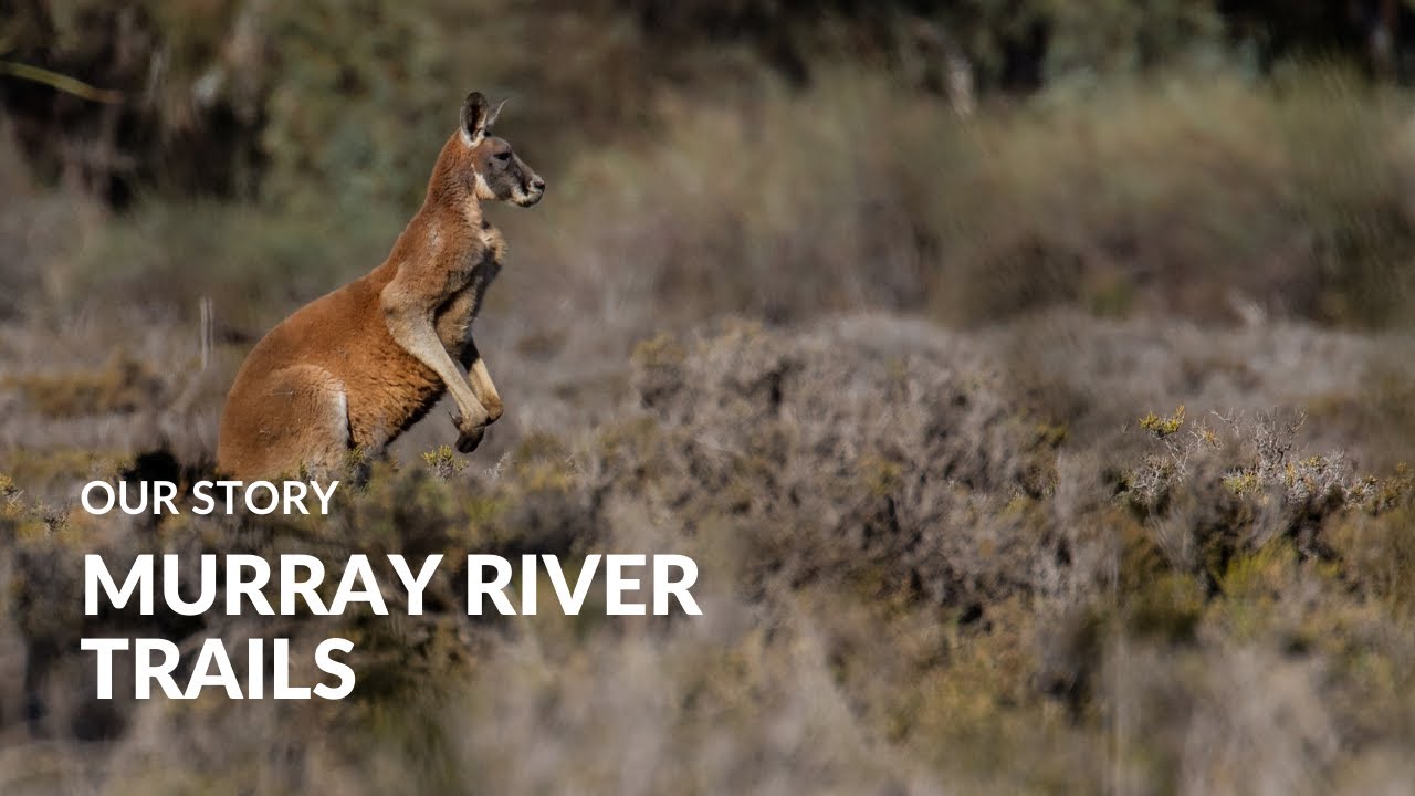
1.1. Murray River
The Murray River is situated in New South Wales in Southern Australia. However, it is the longest river in Australia, with 2,508 kilometres of length.
It passes through the cities of Renmark, Wodonga, Swan Hill, Echuca, Murray Bridge, Mildura, and Albury. This river starts from its source, Cowombat Flat, and ends in Murray Mouth.
The basin size of the river is 1,061,469 square kilometres. Murray River has many tributaries. Out of which, 5 tributaries are the longest rivers after this itself.
Given below are the tributaries of the Murray River from the left:
- Ovens River
- Mitta Mitta River
- Loddon River
- Goulburn River
- Kiewa River
- Campaspe River
Given below are the tributaries of the Murray River from the right:
- Darling River
- Swampy Plains River
- Murrumbidgee River
Hamilton Hume and William Hovell were the first Europeans to encounter this river. At that time, they crossed the Hume River, which Hume named after his father. Captain Charles Sturt reached this river in 1830 after exploring it. He called it the Murray River.
The name was given to honour Sir George Murray. He was a British Secretary of State for War and Colonies. Before reaching the river’s mouth and Lake Alexandria, he traversed the rest of the length of the Murray River.
Later, Captain Collet Barker traversed the Murray Mouth’s locality more precisely. E. B. Scott, James Collins Hawker, and Edward John Eyre were the 1st three settlers of the Murray River.
1.2. Barwon River
The Barwon River is situated on the North-West slopes of the Orana region. It lies in the states of Queensland and New South Wales, Australia. However, the Barwon name is derived from the word bawon or barwum. These Australian Aboriginal words refer to the great, awful, and wide river of muddy water.
Further, the Barwon River is forged via the confluence. It is the confluence of the Weir River and Macintyre River. This confluence lies in the Munginidi’s north, in Southern Downs, Queensland, Australia. Combined with the thirty-six tributaries. The river streams to the west and south direction.
Following are the tributaries in the river’s basin from left:
- Bogan River
- Mehi River
- Macquarie River
- Gwydir River
- Namoi River
Following are the tributaries in the river’s basin from right:
- Bokhara River
- Boomi River
- Moonie River
When major flooding occurs, water overflows from the Narran River and Narran Lakes. Furthermore, the confluence of the Culgoa River and Barwon River points to the beginning of the Darling River. Its point is in the middle of Southern New South Wales’s Bourke and Brewarrina towns.
The river passes through the towns of Walgett, Mungindi, Brewarrina, and Collarenebri. The Murray-Darling Basin Authority manages the Barwon River’s watershed and catchment. The river is 160 kilometres long and is part of the Murray-Darling Basin River System.
1.3. Darling River
The Darling River starts flowing in northern New South Wales, Australia. It is Australia’s third-longest river, with a length of 1,472 kilometres. The river began from the confluence of the Culgoa and Barwon Rivers.
The river’s length from its source via Murray River in Wentworth is 2,844 kilometres. However, this length also includes its prolonged tributaries.
The entire Darling River, which is 2,844 kilometres long, forms Australia’s longest river system. Further, the river’s watercourse is most famous in the Outback area of Australia.
Given below are the tributaries of the Darling River:
- Little Bogan River (left)
- Paroo River (right)
- Culgoa River (right)
- Barwon River (left)
- Warrego River (right)
The entire river system of Murray-Darling is one of the biggest in the world. Also, the Darling River passes through most of the plains region, where the land is quite flat. However, its tributary hike officially ranges north of NSW, west of the Great Dividing Range, and south of Queensland.
Moreover, the towns of Brewarria, Pooncaire, Wilcannia, Louth, Wentworth, Bourke, Tilpa, and Menindee are the major settlements around this river.
Around the late 1880s, the town of Wentworth was the busiest inland port in
Australia. In 1859, voyaging from the steamboat to the town of Brewarrina was achieved for the first time.
1.4. Lachlan River
The Lachlan River is a seasonal river in the state of New South Wales. However, within the Murray-Darling Basin, it is a segment of the Murrumbidgee catchment.
Officially, the river is situated in the Southern Tablelands, Riverina, and Central West regions in New South Wales.
The Lachlan River links with the basin of Murray-Darling only in case of flooding in the Murrumbidgee and Lachlan Rivers. Further, it is Australia’s only river that has notable wetlands along its length. It has 9 nationally significant wetlands, including Lake Brewster, Lake Cargelligo, and Lake Cowal-Wilbertroy.
The river passes through the following towns of NSW:
- Booligal
- Bevendale
- Euabalong
- Cowra
- Forbes
- Oxley
- Breadalbane
- Wyangala
- Hillston
- Reids Flat
- Gooloogong
- Lake Cargelligo
- Condobolin
Following are the tributaries of the River:
- Boorowa River (left)
- Belubula River (right)
- Abercrombie River (right)
- Crookwell River (right)
There are two dams along the river. The first one is Brewster Weir, and the second is Wyangala Dam. However, the size of the river’s basin is 84,700 square kilometres. Meanwhile, the river is 1,440 kilometres long. Also, the river starts from its source, the Great Dividing Range. Further, it ends in its mouth, the Murrumbidgee River.
At the Great Dividing Range, the river is forged with the confluence of Mutmutbilly Creek and Hannans Creek. It forms thirteen kilometres to the east of Gunning and twenty-six kilometres to the west of Goulburn. Around thirty-seven tributaries join the stream of the river along its journey.
1.5. Clarence River
The Clarence River is situated in the state of New South Wales, Australia. However, the river rises from its source in the Border Ranges west of Bonalbo at the Maryland River and Koreelah Creek intersection. Its source lies on the slopes of the Great Dividing Range. Usually, the river flows towards the northeast, south, and southeast.
Further, about twenty-four tributaries join the Clarence River during its journey. These tributaries include the Mann, Esk, Orara, Timbarra, Tooloom Creek, Cataract, Coldstream, and Nymboida Rivers.
Moving on, the river outstretches to its mouth with its confluence with the Coral Sea. The Coral Sea lies in the South Pacific Ocean in the middle of Iluka village and the town of Yamba.

The length of the river is 394 kilometres. Also, it resides in the regions of NSW North Coast and Northern Rivers. Further, the size of the river’s basin is 22,716 square kilometres.
Following are the tributaries of the Clarence River:
- Coldstream River (right)
- Nymboida River (left)
- Timbarra River (right)
- Esk River (left)
- Mann River (left)
- Cataract River (left)
- Orara River (left)
- Tooloom Creek (left)
Furthermore, Harwood Island, Chatsworth Island, and Woodford Island are the islands you will find along the river. Along its long journey, the river streams through the Copmanhurst and Tabulam towns and to Grafton city.
In addition, it also passes through Maclean and Ulmarra towns. Moreover, the Clarence River greatly supports the fishing industry and large-scale prawn trawling. Most of its basin’s climate is subtropical.
1.6. Brunswick River
The Brunswick River is situated in the Northern Rivers region in New South Wales, Australia. However, the river rises from Mount Jerusalem’s eastern slopes at Palmwoods. Palmwoods is closer to the village of Uki.
Before reaching its mouth, it streams in east and south-east directions. However, the mouth of the river is the Coral Sea in the South Pacific Ocean at the Brunswick Heads. Out of its entire course of 34 kilometres, the river drops 232 meters. During its course, it passes through the Brunswick Heads and the Mullumbimby towns.
Further, the river is bounded at Tyagarah’s locality by a lake. Here, the tea trees along the river provide a brown shade. During the summer months, the river usually becomes a famous swimming spot.
Also, naturists often use this river when coming from Tyagarah Beach. To the North of Byron Bay, around fifteen kilometres of the area, is the naturist’s area.
Marshalls Creek is the northern branch of the river. It streams via the Billinudgel, The Pocket, Ocean Shores, and Ocean Shores North. However, the creek links to a canal. This canal lies in the South Golden Beach and Ocean Shores North. Furthermore, Simpsons Creek is the southern branch of the river. It flows via the Bayside, Tyagarah, and Brunswick Heads.
The Pacific Highway spans through the river between the Ocean Shores and Brunswick Heads.
1.7. Hastings River
The Hastings River is situated in the Mid-North Coast and Northern Tablelands districts. These districts reside in the state of New South Wales, Australia.
However, the river rises southwest at the Kemps Pinnacle in the Great Dividing Range. This area surrounds the Werrikimbe and Oxley Wild Rivers National Parks.
Further, it streams usually in southeast, east, and south directions. Along its journey, seven tributaries join the Hastings River. It includes Forbes, Thone, Pappinbarra, Tobins, and Ellenborough Rivers. Lastly, it joins its mouth into the Tasman Sea that lies in the South Pacific Ocean at Port Macquarie.

Also, the river downfalls for about 1,040 meters out of its entire 180 kilometers, of the course. It falls under the Port Macquarie-Hastings local government area. Moreover, its basin size is spread over 4,484 square kilometres.
Following are the tributaries of Hastings River from left:
- Maria River
- Forbes River
- Mortons Creek
- Pappinbarra River
Following are the tributaries of Hastings River from right:
- Ellenborough River
- Fenwicks Creek
- Ralfes Creek
- Thone River
- Tobins River
The Birpai Aboriginal people colonized the Hastings River for thousands of years. They called this river Doongang. In 1818, the European explorers were the first ones to narrate this river.
However, John Oxley observed this river. So, the river was named after Francis Rawdon-Hastings. He was the first Marquess of Hastings and Governor-General of India.
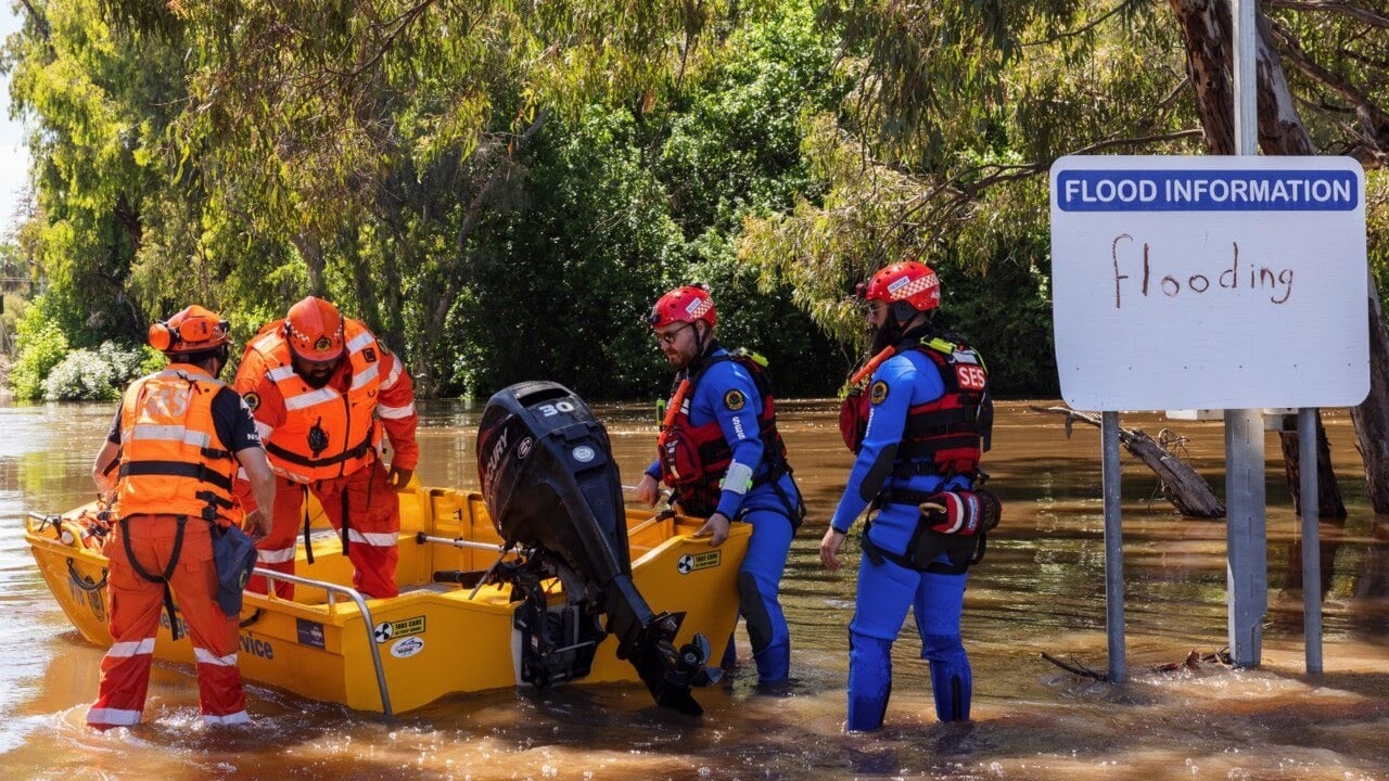
John Oxley gave the name to this river, Hastings River, to honor him. During severe weather, the river flooded, which affected most parts of NSW in March 2021.
1.8. Macquarie River
The Macquarie River is a primary inland river of New South Wales, Australia. In the Murray-Darling basin, the river is a segment of the Macquarie-Barwon watershed.
However, the river rises from its source, Campbell River, in the central highlands of NSW and is closer to Oberon town. It usually streams in the northwest direction, but it passes through many towns and cities. These cities include Wellington, Warren, Bathurst, Narromine, and Dubbo.
After flowing through the Macquarie Marshes, it drains into the Darling River. Finally, it blends in its mouth Barwon River. However, the river is 960 kilometres long. Further, its basin is spread over an area of 75,000 square kilometres.
Following is the list of its tributaries:
- Fish River
- Bell River
- Pyramul Creek
- Coolbaggie Creek
- Turon River
- Mogriguy Creek
- Talbragar River
- Queen Charlotte’s Creek
- Little River
- Curragurra Creek
- Whylandra Creek
- Winburndale Rivulet
- Triamble Creek
- Cumboogle Creek
- Tambaroora Creek
- Cudgegong River
- Wuuluman Creek
- Wambangalong Creek
- Oxley Break
- Greenhide Creek
- Marebone Break
- Brummagem Creek
- Five Mile Cowal
- Bulgeraga Creek
- Gin Gin Creek
- Bulla Bulla Creek
It is known that Wiradjuri Aboriginal people were the former population of the Macquarie River watershed. These people called this river Wambool the ‘winding river.’
2. Summing Up the Discussion
Rivers are a basic ecological necessity for every region. They support the lifestyles of animals and humans. There are many rivers in NSW, and all of them are famous.
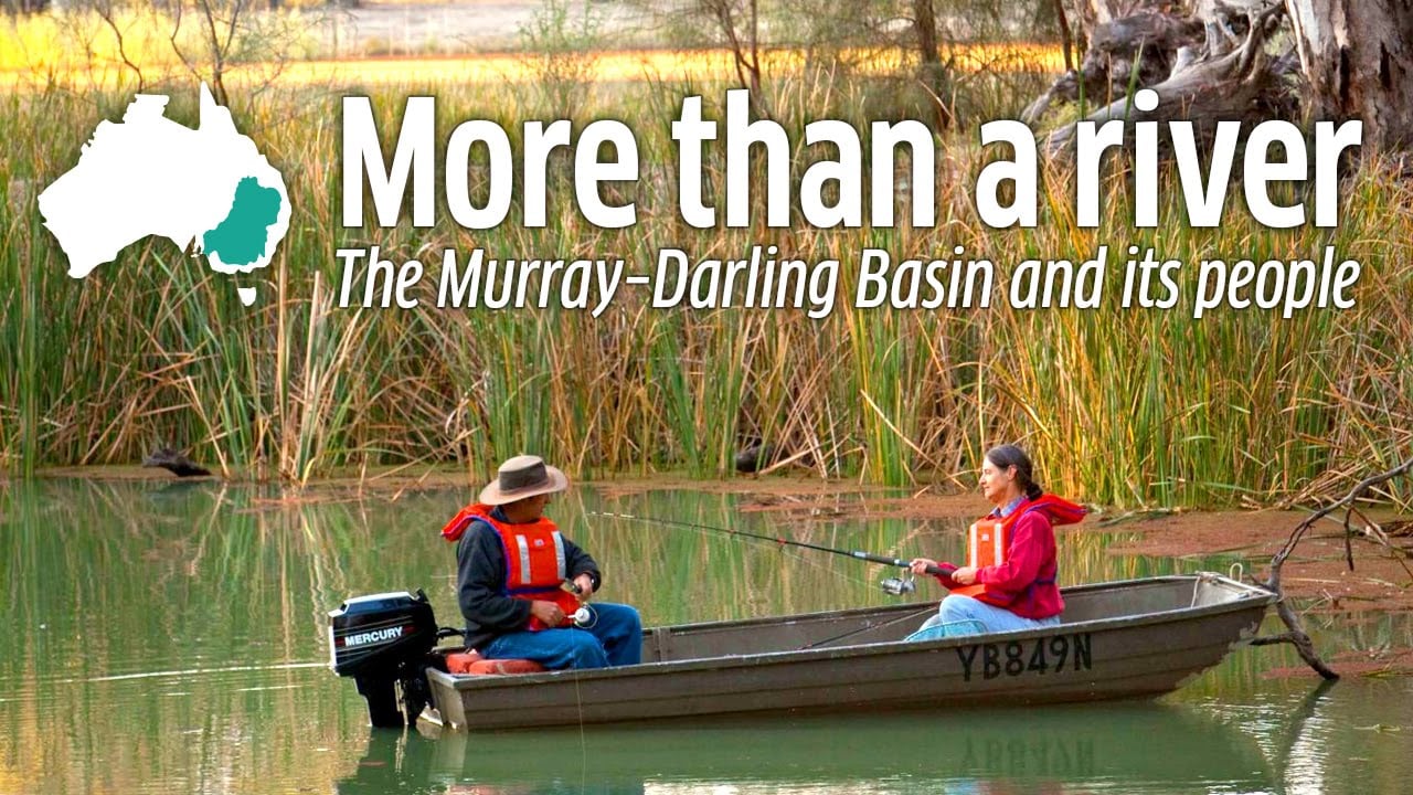
However, most of these rivers set up their long journeys. It is before they finally reach their destinations. The Murray River is the longest in Australia. It also forms one of the largest river systems and basins, along with the Darling River.
Last Updated on March 9, 2024 by Apeksha Soni


