
Lake Eyre is a salt-crusted Lake in South Australia. It is a shallow endorheic lake near the city of Adelaide and the Lake Eyre Basin, the lowest point in Australia.
It is renowned for its enigmatic beauty and its unique hydrological cycle. The Kati Thanda Lake Eyre National Park, including the lake, is a favourite destination for migratory birds.
So, let’s look into the history of Lake Eyre, its geological significance, cultural importance, and other lake features.
1. Lake Eyre: Geography & Cultural Significance
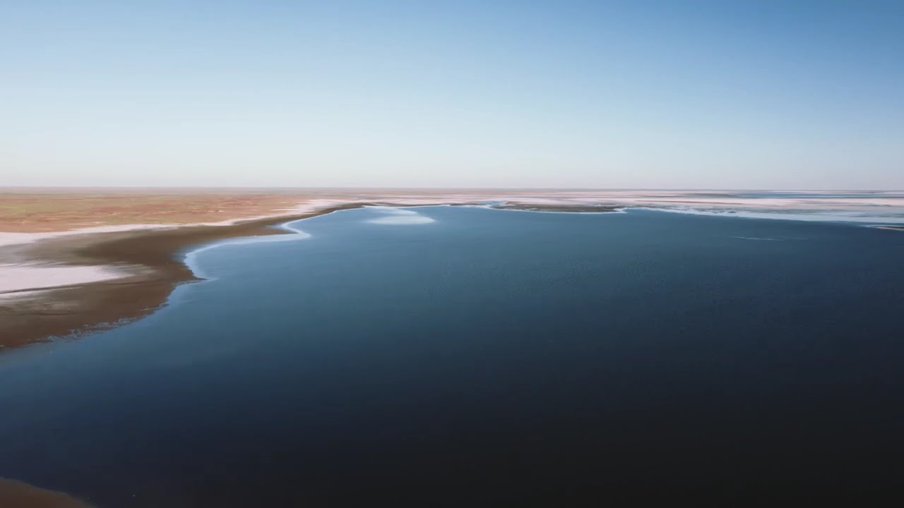
Kati Thanda Lake Eyre is a vast saline lake at the lowest point below sea level in northeast Australia. It is the largest lake on the continent.
It is a contradiction between aridity and cursory abundance between the dry fields and the sporadically flooded lake.

Lake Eyre, which is natively known as Kati Thanda Lake Eyre in the Arbana Language is the largest lake in the Australian continent. It is located in the north of Australia and around 770 km from the city of Adelaide.
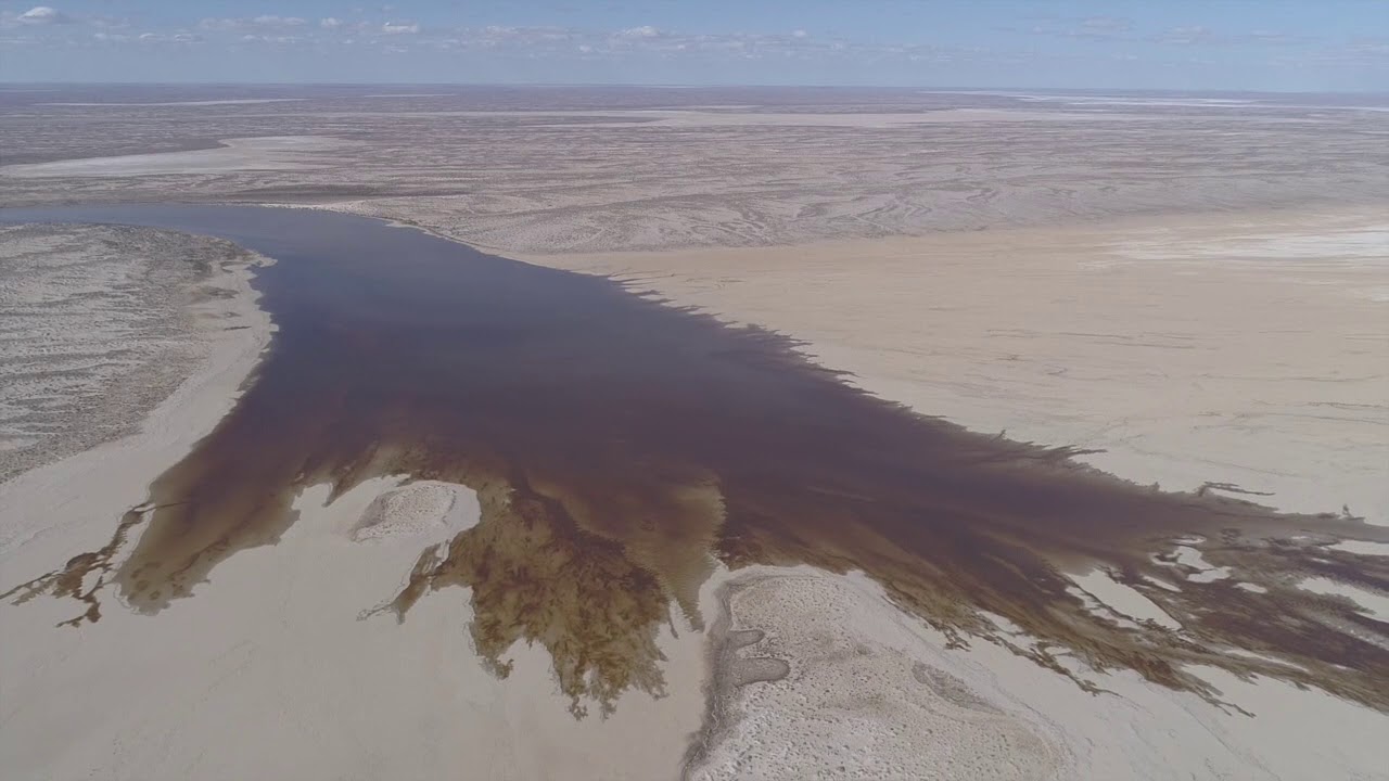
It is an endorheic lake in the Lake Eyre Basin, which is shallow and sometimes seen dry. The Lake spreads around 9500 sq. km, making it Australia’s largest salt lake.
Lake Eyre is usually seen as dry and hypersaline. When filled up, the water is found to be as saline as the seawater. It is around 15m below sea level in Australia.
2. History Behind Lake Eyre
Named after the first European Expeditor at Lake Eyre, Sir Edward John Eyre, in 1840, the lake became an iconic face of the Australian Continent. It is a basin area of the indigenous tribes of Australia, Wagkangurru, which made the government rename the lake.
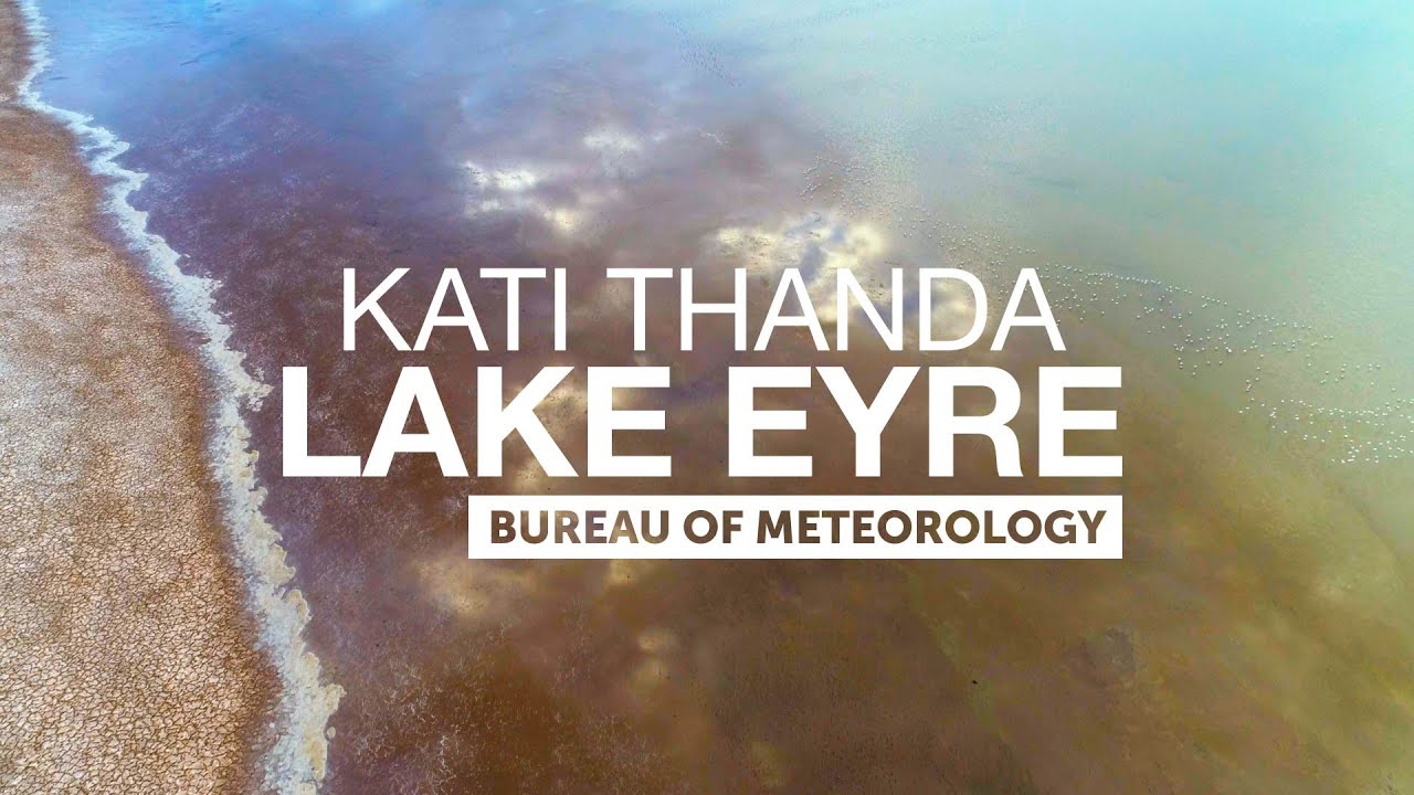
In 2012, the lake received a prefix along its name, representing the cultural significance of the lake. It was named Kati Thanda Lake Eyre. The Kati Thanda Lake Eyre Basin area was occupied by the Wangkangurru, an Australian Aboriginal tribe commonly known as Arabana.
The lake was later renamed in the Arabana Language as a tribute to the tribal people residing in the Lake Eyre Basin. The Wangkangurru language is similar to the Arabana Language of the Queensland border of Australia.
This mixed cultural designation remarks on the national importance of Lake Eyre in preserving the Indigenous heritage.
3. Geography
Lake Eyre basin is a large endorheic area that is included in the world’s largest internally draining systems. It is a massive salt bowl that was formed due to the platonic movements and evaporation of water from the lake.
3.1. Formation Of The Lake
The formation of the Kati Thanda Lake Eyre Basin, including the Lake, was a result of many complex geological reactions that took millions of years. It is believed that the lake was formed during the Paleozoic period, around 300 million years ago.
During this period, Australia was a part of the supercontinent, Gondwana. There was huge crustal activity, which led to the splitting up of the land masses and triggered the lake’s formation.
During the lake’s initial basin formation, the erosion of the surrounding mountains occurred, causing the formation of low-lying sediments on the lake bed. These deposits filled the basin and formed a thick layer of sedimentary rock that became the foundation of the lake. This process continued developing even in the Mesozoic period, around 250 million years ago.
The crust movements continued to separate Australia from Antarctica, which led to the forming of the Great Australian Gulf by giving an opening to the Australian Gulf. These changes on the plate have a high influence on shaping the Lake Eyre Basin.
3.2. Paleogeographic History Of The Lake Eyre
Lake Eyre has great significance in paleogeographic studies. Its historical importance provides insights into the spiritual changes in the Australian continent that occurred over time. Many fossil remains and huge mineral deposits helped the geologists learn about the past changes in climate and environment.
The lake was said to be a shallow sea during the Permian And Triassic periods around 300 million years ago. This sea was named the Eromanga Sea. There existed Rivers that flowed to this sea, and the sediments from these few remaining pristine river systems contributed to the bed.
Later, after the continents separated, the sea receded to form the lake. The basin around the lake, which had rich mineral deposits, became a large alluvial floodplain.
To prove this, many marine fossils, such as ammonites, reptiles, etc., were recovered from the rocks around the Lake Eyre Basin.
As time passed, the climate became increasingly drier, which evaporated the river systems in the region into short and narrow streams. Today, the Lake Eyre Basin features a mix of desert landscapes, dunes, and salt flats, reflecting the long history of climate change and geological processes that have shaped the region.
4. Hydrology And Evaporite Of Lake Eyre
5. Salinity Of The Lake
Lake Eyre is one of the most saline water bodies in the world. Its saline nature is due to the large mineral deposits and dry climate around the lake basin. So when the water in the lake dries, salts are precipitated on the lake bed, making the lake much saltier.
The high temperature and lower rainfall in the basin premises influence this salinity. As a result, the evaporation rate increases, leaving salt residues on the lake bed. This increases the salinity of the water remaining in the lake. As the lake fills up, the salinity gradually increases.
The salinity is not at a constant rate of growth all the time. The salinity increases in the summer season when the evaporation rate is high. It decreases during the rainy season as the freshwater flows into the lake. These heavy rains dilute the freshwater with the saline water, and evaporation is low this time. But after these rains, the evaporation cycle progresses, and salinity increases.

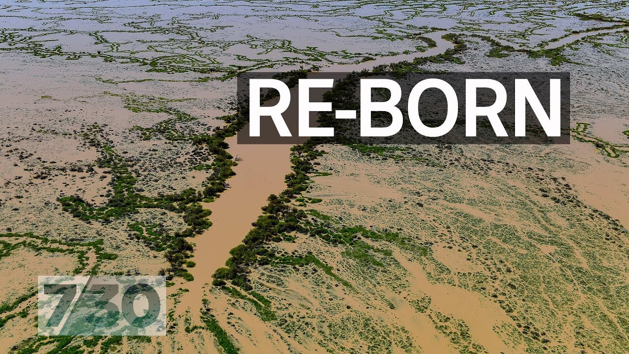
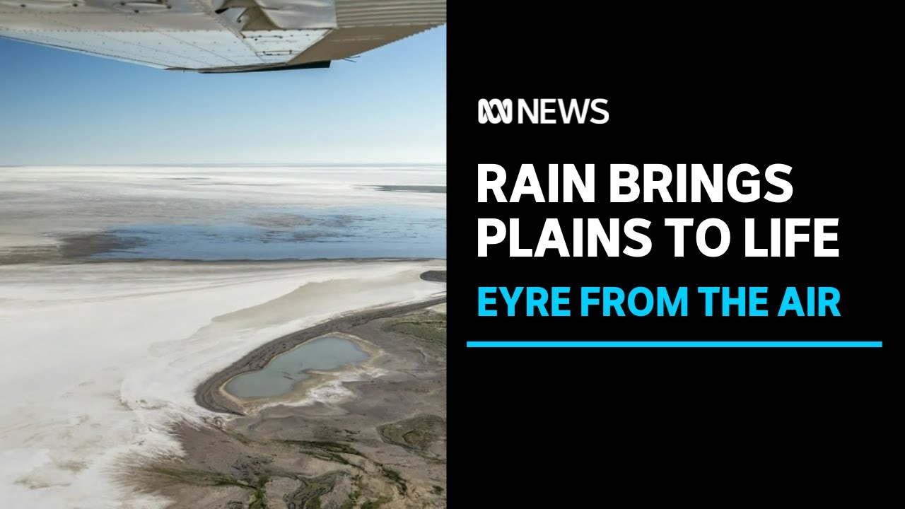
6. Floods Of Lake Eyre
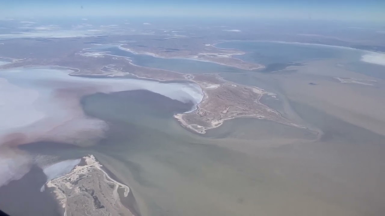
Lake Eyre’s water level is highly variable, depending on rainfall patterns and flood events. This lake can be completely dry for long periods or have minimal water present. It is estimated that, on average, the lake only fills to its maximum capacity every 8-10 years.
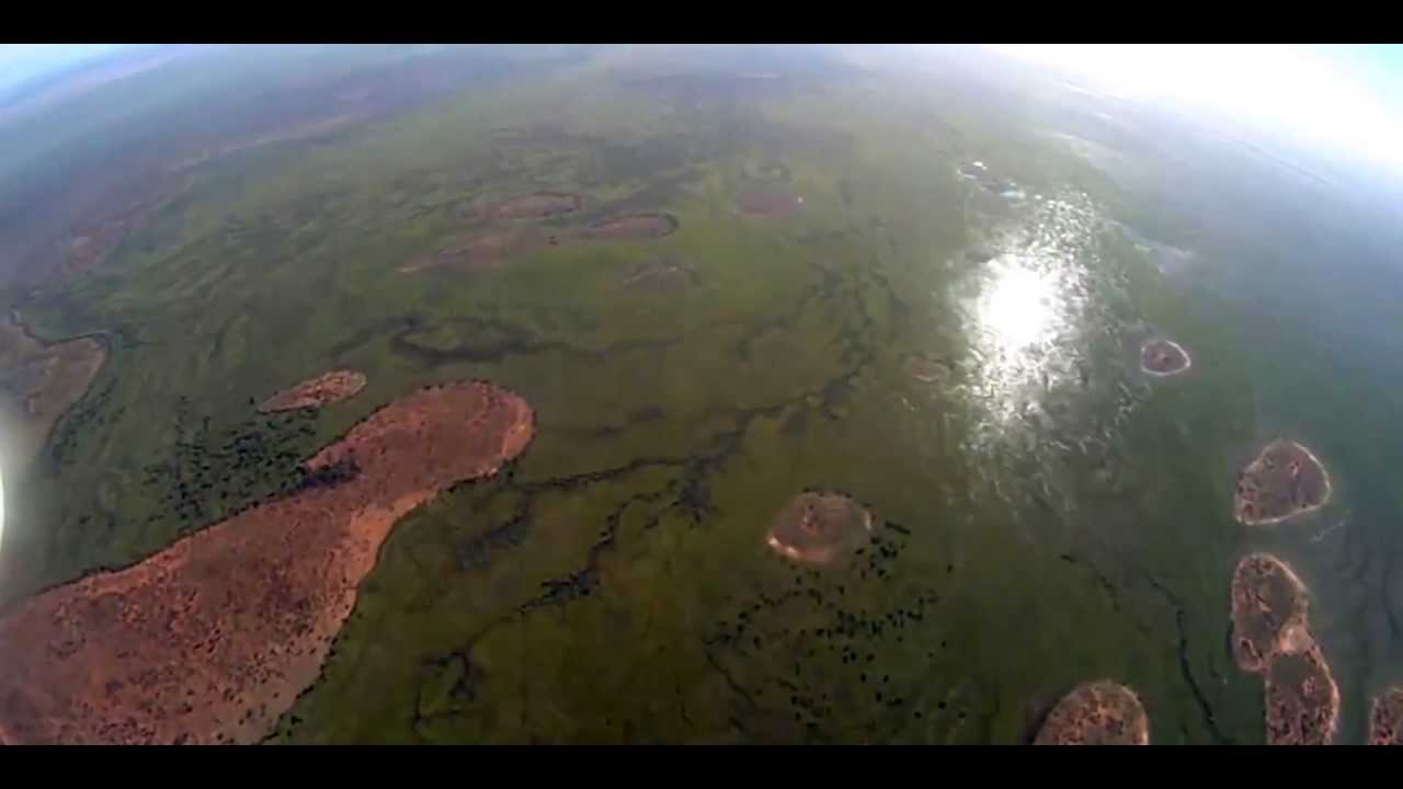
Heavy rains in the watershed cause flooding in the rivers that drain into Lake Eyre. This flood can travel hundreds of kilometres through drylands and eventually reach lakes. When water accumulates in the lake basin, the dry salt pans become a vast inland sea, and large areas are covered with water.
Floods in Lake Eyre are a beautiful event. During this time, many migratory birds, animals, and other species arrive at the lake and breed. The water influx also promotes vegetation growth and provides temporary habitat for a variety of aquatic organisms.
6.1. Evaporative Mineral Deposit
There are huge varieties of minerals in the lake basin formed from the precipitation and crystallization of salts in the lake. These evaporative minerals found at the basin cause the lake to be highly saline.
Salts like Gypsum, Sodium Chloride, Halute, Anhydrite, etc were discovered in the lake basin during its dry state. These abundances of evaporative minerals contribute to the salinity of the plains near the lake.
Gypsum and sodium chloride salts are the most abundant minerals found in the lake bed. These salts are meant to be formed when the calcium sulphate in seawater is precipitated and crystallized. Sodium chloride is the main thick layer of the lake bed, a white-grey crystal at the lake’s surface.
7. Human Life Around the Lake
7.1. Population
About 60,000 people live scattered throughout the Lake Eyre basin. They live in towns like Longreach and Alice Springs, small hamlets like Murray, or isolated farms on vast pasturelands.
There are also mining projects, notably the Mumbah gas field, and Aboriginal communities and suburbs, such as Alpurullam and Nepabuna. Many people have settled in the basin, including ranchers, miners, Aboriginal people, tour operators, civil servants, and conservationists.
They bring different skills, opinions, and beliefs to the community. This basin is part of a dry ranch, and most of the land is rented for ranching. Most of the basin is Aboriginal property or is claimed by Aboriginal owners.
7.2. Pastoral Activities in the Region
Lake Eyre Basin has great religious significance in terms of pastoral activity. The open ground areas and the vegetation around the lake made the lake surroundings suitable for the shepherds to take their flock for gazing.
The meadows around the lake attracted the pastoralists to build ranches and chapels to perform ritualistic activities. These pastoral activities created positive and negative impacts on the basin residents.
It had a huge impact on the villager’s economy by increasing employment opportunities and promoting agriculture. However, this caused a large level of soil degradation and agricultural destruction. It also had a great effect on the ecosystem.
In recent years, there has been an increasing emphasis on sustainable grazing practices and land management to minimize the environmental impact of pastoral activities in the Lake Eyre Basin.
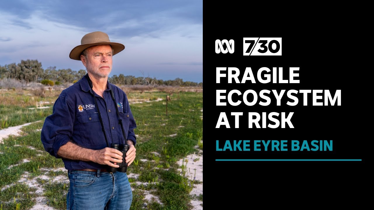
8. Threats Towards Lake Eyre
The Kati Thanda Lake Eyre Basin is a vast region that covers one-sixth of Australia. It contains one of the few remaining pristine river systems in the world. However, it faces many threats that threaten the fragile nature of the environment.
8.1. Oil and Gas Development at Lake Eyre
Lake Eyre Basin is found to be a rich natural gas deposit for oil and gas development and exploration due to the geological features at Cooper Creek Basin.
The oil and gas industry has expanded significantly in the Lake Eyre basin in terms of the number of oil and gas extraction plants. This activity contributed to the majority of Australian petroleum production.
8.1.1. CSIRO Research on Oil and Gas Development
The CSIRO conducted research for the government of Australia for more than a decade. This was meant for the oil and gas development at the northern territory of Lake Eyre. They had estimated that 1,000 to 1,500 wells would be drilled in Cooper Creek over the next 50 years to produce unconventional gas and other products.
This oil and gas exploration could fracture the environment around the basin, causing many hazards to Lake Eyre and its premises.
According to CSIRO, risks that may occur by promoting massive gas development at Cooper Creek include:
- Dust and machinery emissions that can cause habitat loss, such as air quality changes, noise, and light pollution.
- Disposal and storage of on-site materials that may contaminate soil, surface water, and/or groundwater through accidental spills, leaks, or spills.
- Unplanned hydraulic fracturing and drilling into subsurface faults, unintended formations, or abandoned wells.
- Gases and liquids that pollute soil, surface water, groundwater, and air.
Changes in groundwater pressure can reactivate underground faults and cause earthquakes. Unconventional gas fracking also involves removing large amounts of water from rivers and groundwater.

8.2. Legal Issues Over the Lake Eyre
Many questions are asked about the hazards on Lake Eyre to the state and national governments. These questions concern industrialization, the risk of pollution, and even the environmental hazards in the basin.
State and federal environmental efforts have failed to stop the uncontrolled development of the watershed. These policies include the Lake Eyre Basin Agreement, signed by the State, Commonwealth, and Northern Territory and in force since 2000.
8.2.1. Australia’s Environmental Protection and Biodiversity Conservation Act
Australia’s federal environment law, the Environmental Protection and Biodiversity Conservation Act, aims to protect areas of national importance, such as the Ramsar Wetlands.
However, according to the research, only eight developments in the basin have sought federal approval. It is the only one that was deemed significant enough for evaluation. This law does not adequately address the cumulative impact of unconventional gas development.
The South Australian and Queensland governments should restrict mining development in the Lake Eyre basin. And there is an urgent need for increased federal oversight of this nationally important natural resource.
This research also shows how quickly oil and gas mining in the Lake Eyre Basin is set to grow. We identified licensing approvals or applications covering 4.5 million hectares of floodplains in the Lake Eyre Basin across South Australia and Queensland.
9. Tourist Attractions of Lake Eyre
The Lake Eyre Basin’s unique landscapes and natural features attract tourists and visitors worldwide. Tourists and adventure enthusiasts are drawn to four-wheel driving, camping, birdwatching, and photography.

9.1. How to Reach Lake Eyre?
The best way to reach LakeEyre is by Flight. To get the lake, take a flight to Coober Pedy from Adelaide and plan to spend a few days at the lake basin.
Few flight operators chart to the Coober airport. Then hire a car and reach the lake. It is important to follow the safety measures as the lake surroundings are located in a remote area.
If you visit for the first time, it is better to choose a tour operator to experience the lake to its full.
10. In The End
South Australia’s Kati Sanda Eyre Lake is a natural wonder at a staggering 144 km by 77 km in the Flinders Ranges and outback. The endless expanses of sparkling salt crystals enchant travellers year-round, but the real magic happens when desert rains flood the lake.
Every few years, a network of canals, streams, and floodplains converge on Kati Thanda Lake National Park, bringing abundant wildlife, stunning natural beauty, and dreamy shades of pink and orange.
Last Updated on April 4, 2024 by Apeksha Soni


